Precision Aerial Intelligence
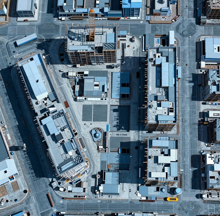
High-Resolution orthomosaic 2D mapping, 3D modeling and high-resolution inspections designed for rapid, accurate site analysis and reporting. We deliver GIS-ready datasets directly to your team.
Our Method
01 / Flight Plan
02 / Data Capture
03 / GIS Integration
Pre-programmed autonomous flight paths ensure perfectly matched, repeatable progress scans month after month. We eliminate human error to guarantee consistent aerial data capture.
Multi-spectral and radiometric sensors capture geo-referenced spatial data under optimal midday sun. We secure high-contrast structural definition across every square meter of your site.
Raw assets are processed into standardized, insurance-ready formats compatible with CAD and GIS engines. Your team receives clean, actionable spatial models for immediate analysis.
Ready for Precision Data?
Deploy FAA-certified pilots to your high-liability site. Get accurate aerial intelligence and standardized reports delivered directly to your pc.